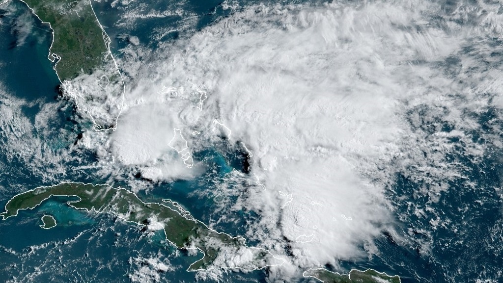
Tropical Storm Arthur formed off the coast of Florida on Saturday, making it the sixth straight year for a named storm to develop before the official June 1 start of the Atlantic hurricane season.
The storm’s centre was located at 11 pm, about 190 miles (305 kilometres) northeast of Cape Canaveral, Florida, the US National Hurricane Centre in Miami said. Arthur has top sustained winds of 40 mph (65 kph) and is moving to the north-northeast at 13 mph (20 kph), officials said.
A tropical storm watch remained in effect for parts of the North Carolina coast. Forecasts say Arthur will stay well offshore of Florida and Georgia on Sunday and then approach the North Carolina coast on Monday, where it will drop between one and two inches of rain Sunday night and Monday.
Dangerous coastal surf conditions and rip currents are expected to spread northward from Florida to the mid-Atlantic states during the next few days.
While there may be a component of warming waters and climate change in other pre-June storms, Arthur is more of a subtropical storm system than a traditional named storm and its water is cooler than what’s usually needed for storm formation, said Colorado State University hurricane researcher Phil Klotzbach.
A lot of these out-of-season storms are weak fleeting ones that meteorologists can see now because of satellites and better technology and would have been missed in earlier times, Klotzbach said. Like most earlier-than-usual storms, Arthur is likely to remain offshore, but could come relatively close to North Carolina’s coast Monday, Klotzbach said.
http://www.loopjamaica.com/content/tropical-storm-arthur-forms-1st-named-storm-season-2


Leave A Comment